
Email us if you have comments, corrections or would like to request prints of this image.
2000 Aerial Image - Abrams (Abrahams) Area
aerial photo
Aerial Photo of Abrams area in 2000. Image Courtesy of the Delaware Valley Regional Planning Commission (DVRPC.) Tile No. X24-Y087.
Date: 2000
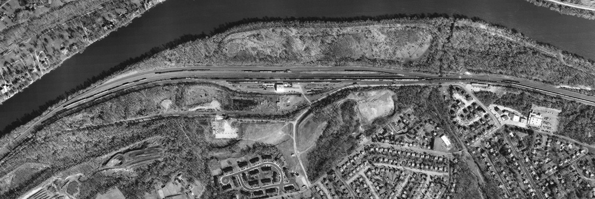
Aerial Photo of Abrams area in 2000. Image Courtesy of the Delaware Valley Regional Planning Commission (DVRPC.) Tile No. X24-Y087.
Date: 2000
(c) The King of Prussia Historical Society and the DVRPC
Google Map Coordinates: 40.115372, -75.387103