
Email us if you have comments, corrections or would like to request prints of this image.
1959 Aerial Image - Upper Gulph Area
aerial photo
1959 Aerial Photo of the Upper Gulph Area. Image courtesy of the Delaware Valley Regional Planning Commission (DVRPC.) Tile No. 07-579.
Date: 1959
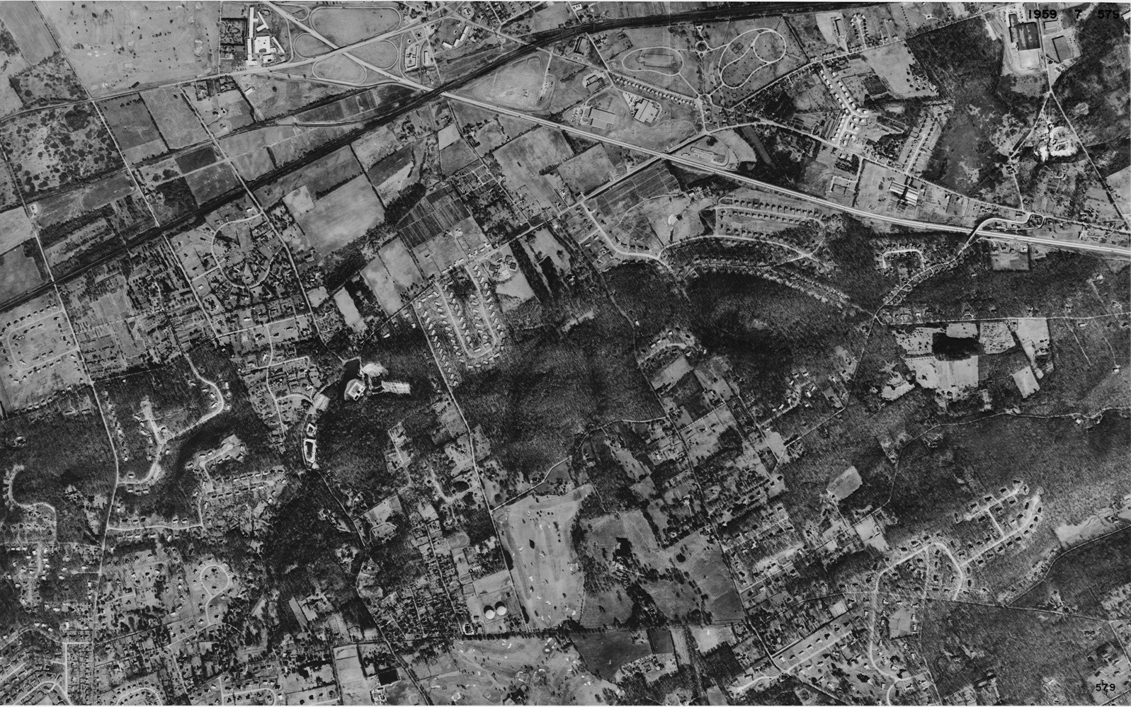
1959 Aerial Photo of the Upper Gulph Area. Image courtesy of the Delaware Valley Regional Planning Commission (DVRPC.) Tile No. 07-579.
Date: 1959
(c) The King of Prussia Historical Society and the DVRPC
Google Map Coordinates: 40.068415, -75.390407