
Email us if you have comments, corrections or would like to request prints of this image.
1959 Aerial Image - King of Prussia
aerial photo
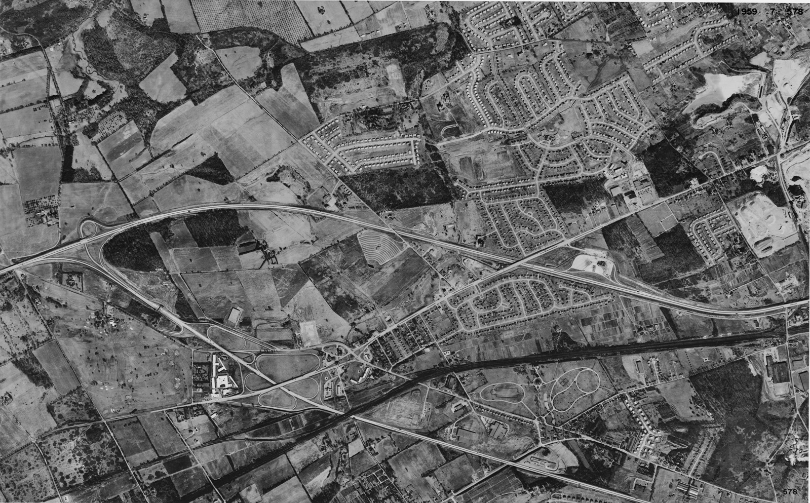
Aerial photo of King of Prussia in 1959. The new Turnpike and Schuylkill interchange is visible. Image courtesy of the Delaware Regional Planning Commission (DVRPC.) Tile No. 07-578.
Date: 1959
Aerial photo of King of Prussia in 1959. The new Turnpike and Schuylkill interchange is visible. Image courtesy of the Delaware Regional Planning Commission (DVRPC.) Tile No. 07-578.
Date: 1959
(c) The King of Prussia Historical Society and the DVRPC
Google Map Coordinates: 40.089919, -75.391609