
Email us if you have comments, corrections or would like to request prints of this image.
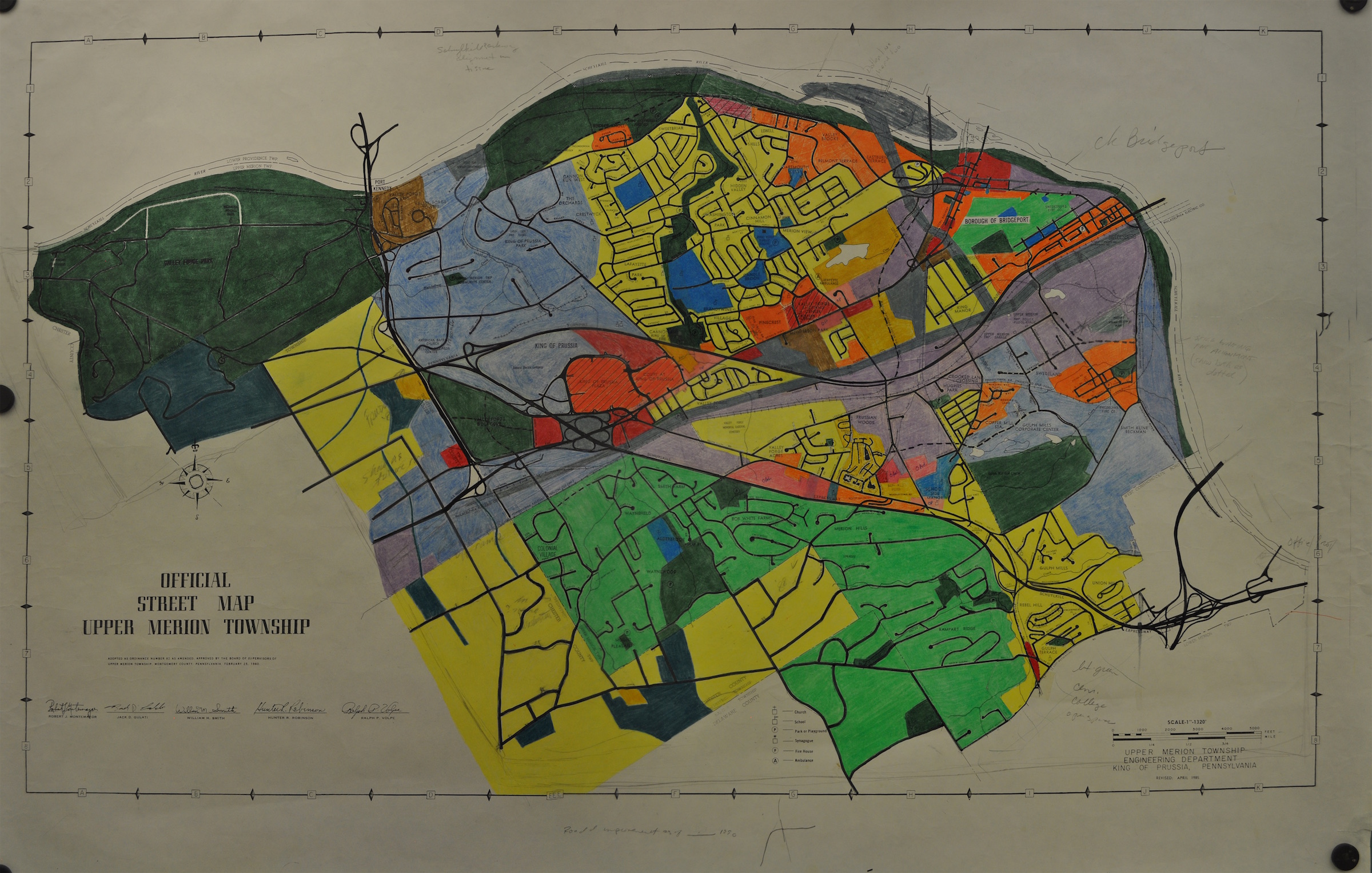
1985 Upper Merion Zoning(?) Map
map
This is a hand-colored road map from 1985. It may be colored according to zoning or land-use - unfortunately, there is no key. This is a composite put together in Photoshop - there may be some distortions. Special thanks to Matt Popek for preserving and donating this map.
Date: 1985
This is a hand-colored road map from 1985. It may be colored according to zoning or land-use - unfortunately, there is no key. This is a composite put together in Photoshop - there may be some distortions. Special thanks to Matt Popek for preserving and donating this map.
Date: 1985
(c) Montgomery County Planning Commission/King of Prussia Historical Society.